Taiwan Strait
| Maximum width | 180 kilometers |
|---|---|
| Narrowest width | 126 kilometers |
| Connects | South China Sea and East China Sea |
| Primary geologic feature | Continental shelf |
| Median line status | Unofficial, not recognized by the PRC |
| Notable islands | Penghu (Pescadores), Kinmen, Matsu |
Origin and history
The Taiwan Strait is a natural geographic feature formed by geological processes, not a human creation, and therefore has no specific date of origin. It is the body of water that has separated the island of Taiwan from the Asian mainland throughout recorded history. The strait has been a consistent geographic barrier and conduit for millennia, influencing migration and trade patterns. European explorers, including the Portuguese, Spanish, and Dutch, utilized the strait during the Ming dynasty to establish trade bases. Widespread Chinese migration across the strait began in the late Ming period. The strait was a strategic military arena during the Qing conquest, notably during the 1683 Battle of the Penghu Islands. Control of the strait shifted to Japan following the First Sino-Japanese War in 1895, impacting regional power dynamics.
What it is for
The Taiwan Strait serves as a crucial maritime passage connecting the South China Sea to the East China Sea. It functions as a major shipping lane for international commercial traffic and regional trade. The strait provides important fishing grounds for vessels from both sides. It acts as a natural geographic and political boundary between the island of Taiwan and mainland China's Fujian Province. The strait's continental shelf holds significance for potential natural resource exploration. Its waters and the islands within it, such as Kinmen, Matsu, and Penghu, have long held strategic military importance.
Pros and cons
A primary advantage of the strait is its role as a vital international shipping corridor, facilitating global trade. Its relatively shallow continental shelf can be advantageous for certain types of maritime infrastructure and resource surveys. The geographic separation has, at times, allowed for distinct political and social development on either side. A significant disadvantage is its status as a persistent flashpoint for military tension and potential conflict between major powers. The undefined legal status and disputed sovereignty over its waters create instability for commercial navigation and overflight. The theoretical "median line," once a tacit stability mechanism, has been effectively erased by increased military activity, raising the risk of miscalculation. Nations dependent on free passage through the strait for trade regret the periodic escalations that threaten this access. A common mistake is viewing the strait solely as a political boundary while underestimating its complex roles in ecology, economics, and regional security.
Who it suits
The strait suits the operational needs of major international shipping companies and bulk carriers requiring efficient passage between Northeast and Southeast Asian ports. It suits the strategic planning of naval forces that prioritize controlling key chokepoints for power projection. The strait suits the fishing communities along the Fujian coast and western Taiwan that have historically depended on its resources. It suits the political frameworks of governments that define their relations in terms of geographic separation and maritime boundaries. The strait suits academic and scientific researchers focused on continental shelf geology, sediment transport, and marine ecology. It does not suit political or commercial entities that require a stable, unambiguous, and demilitarized international waterway for their long-term planning.
Latest Taiwan Strait news
Latest reporting
Iran Escalates in Strait of Hormuz, Destroys U.S. Radar in Bahrain
Iran's military destroyed a U.S. radar in Bahrain and attacked tankers in the Strait of Hormuz in November 2026, escalating regional tensions as...

Trump-Xi Summit Extends Trade Truce, Leaves Taiwan Tensions Unresolved
The second Trump-Xi summit of the year ended with a two-month extension of the October trade truce and mutual incentives for future meetings.
South Korea Refuses Military Deployment to Strait of Hormuz
President Lee Jae-myung rules out sending troops to support the U.S. War against Iran, citing high risks and domestic opposition, despite sustained...
South Korea's Strategic Ambiguity on Taiwan Contingency
An expert analysis reveals South Korea's public stance on Taiwan remains deliberately ambiguous.
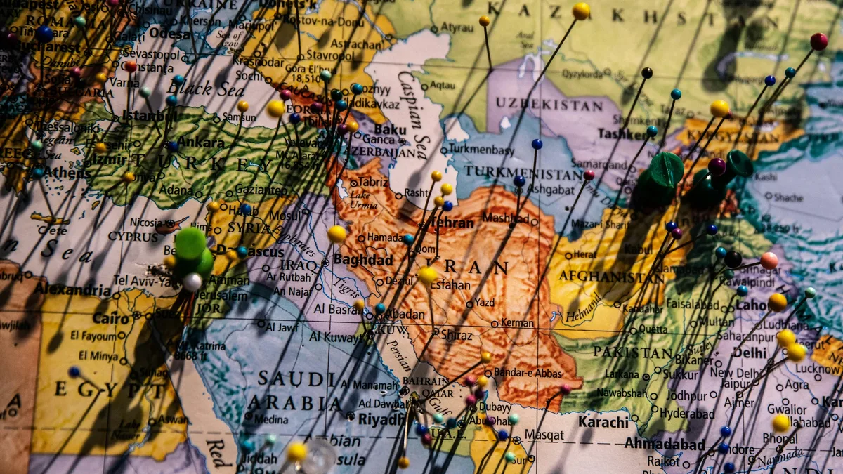
U.S. Iran strategy at impasse over Strait of Hormuz
U.S. efforts to achieve its goals with Iran through sanctions and military strikes have failed, leading to two debated paths forward.
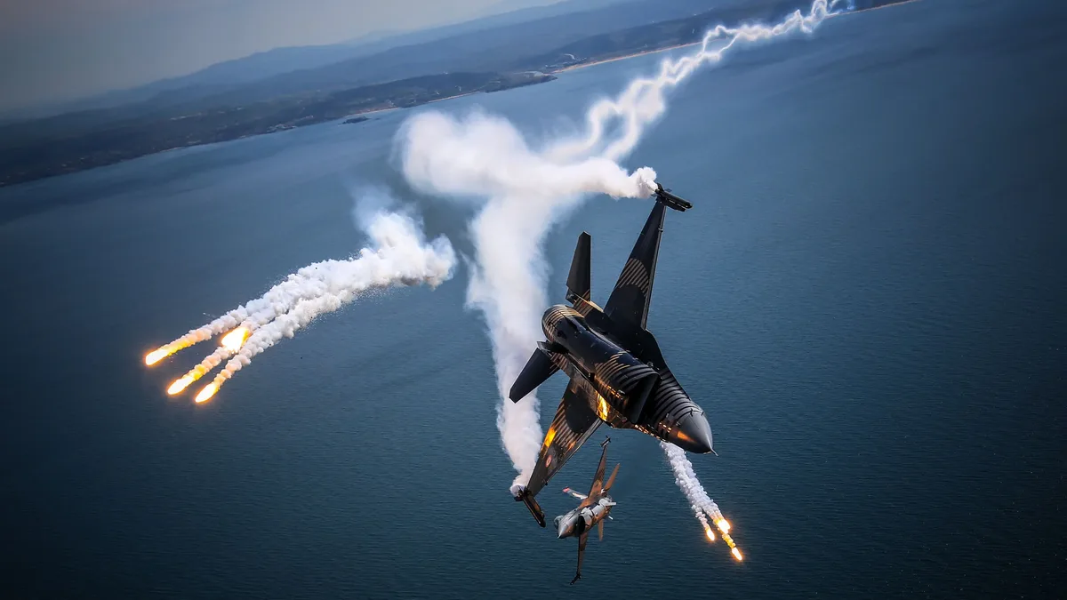
Iran, U.S. exchange strikes in Hormuz Strait
U.S. forces struck Iranian rocket launchers on Larak Island, prompting retaliatory missile fire from Iran's Revolutionary Guards at bases in Jordan.