UN urges global shift from Mercator maps over Africa size
The UN General Assembly has passed a resolution encouraging the use of map projections that more accurately show Africa's true size, criticizing the
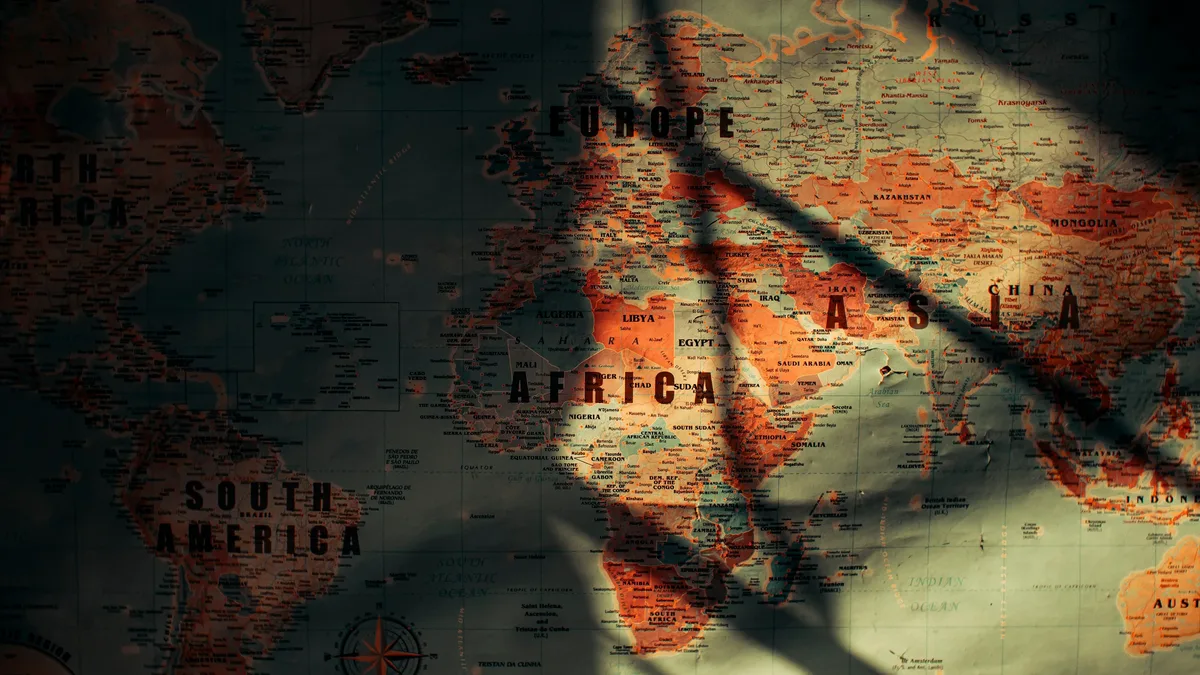
The UN General Assembly voted overwhelmingly on Friday to encourage governments, schools, and technology companies worldwide to stop using maps that make Africa appear far smaller than it is. The resolution passed with 164 votes in favor, one against from the United States, and six abstentions.
Togo's Foreign Minister, Robert Dussey, argued before the vote that maps shape global understanding. "They guide education, nourish the imagination, and influence collective perceptions," he said. The resolution promotes the use of so-called equal-area map projections, like the Equal Earth projection developed in 2018, when relative landmass size matters.
The Mercator distortion
The campaign targets the 16th-century Mercator projection, which remains the most widely used world map. Created by Flemish cartographer Gerardus Mercator in 1569 for maritime navigation, the projection preserves compass directions but drastically distorts area. Landmasses become increasingly enlarged the farther they are from the Equator.
This creates a skewed global picture. For instance, Greenland can appear comparable in size to Africa on a Mercator map, despite Africa being approximately 14 times larger. The resolution states these distortions have contributed to the "symbolic minimization" of Africa and perpetuated an unbalanced worldview.
Diplomatic divisions
The vote revealed clear diplomatic fault lines. The United States cast the sole opposing vote, with its representative dismissing the initiative. The American representative argued it was part of a "much larger and more radical ideological project" and mocked references to "cognitive justice and memorial reparation" within the text.
Six countries abstained: Estonia, Georgia, Lithuania, Moldova, Serbia, and Ukraine. France, however, moved in the opposite direction. Hours before the vote, Foreign Minister Jean-Noël Barrot announced Paris would abandon the Mercator projection for its world maps, aligning with the African Union-backed effort.
Sovereignty concerns
Ukraine expressed a specific geopolitical concern, supporting the correction of historical distortions affecting Africa but objecting to how some Equal Earth maps depict Ukrainian territory occupied by Russia. Its representative warned that endorsing the projection without safeguards could open a "Pandora's box" regarding disputed territories.
The European Union, while supporting the resolution, addressed the same issue. Speaking on behalf of the bloc, Ireland stressed that the measure applied only to the relative size of landmasses and had no bearing on sovereignty or internationally recognized borders.
A nonbinding correction
The resolution is explicitly nonbinding and does not ban the Mercator projection. It encourages teaching the limitations of any flat map in representing a spherical planet. Togo's foreign minister emphasized the goal was not to condemn Mercator's navigational utility but to promote fairness. "A fair map does not change the geography of the world, it changes how we see the world," Mr. Dussey said.
The text itself acknowledges a fundamental cartographic problem: no flat projection can perfectly reproduce Earth's curved surface. Each sacrifices area, shape, distance, or direction. The near-unanimous vote nonetheless provides international backing for the African-led argument that map choices shape generational understanding.